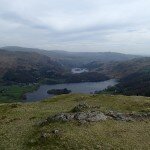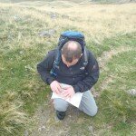
A good day on Silver How today running a Beginners Navigation Training Course, almost all the seasons in one day today.
We set off from Elterwater at 10am and followed the lane up by Wallthwaite Bottom before leaving the road and taking the path up by Huntingstile Crag.
There are plenty of good points along this ridge for beginners navigation courses, we picked out tarns, contours and streams as we crossed the Dow Bank part of the ridge.
So far the weather was pretty good, misty views but mostly dry, there had been some very light drizzle to start but this had eased as we got higher, so far it was perfect for a beginners navigation training course.
We climbed by Megs Gill, following the gill up onto the ridge and taking a bearing to the summit of Silver How where we stopped for our lunches.
We didn't stop for too long on the summit, it soon got chilly so we pressed on, taking another bearing to a tarn and then navigating to a small feature on a contour near Lang How.
By now the rain was getting a little harder.
The next leg was up onto Swinescar Pike, using a bearing and counting our pacings up the slope we found ourselves on the summit of Swinescar Pike, or at least the summit marked on the OS map, the true summit isn't far away, just a little higher. We crossed by the true summit and took the path down around the southern side of the tarns, picking out a few contours on the way back to Megs Gill and following the path back along the ridge by Spedding Crag and down to the roadside at Wallthwaite Bottom, following the lane back into Elterwater just as it was getting dark, perfectly timed.
A good day with a good group on a lovely little fell.


