Welcome to The Lake District Walker
-
Diary
- Routes
- Navigation & Skills
- Activities
- Challenge
-
Private Guiding
Popular Events
- You have no events in your shopping cart.
- Home /
- Private Guiding /
- Suggested Private Guiding Routes /
- Hard Walks /
- Blencathra & Sharp Edge: Private Guiding
| "Sharp Edge is a rising crest of naked rock, of sensational and spectacular appearance a breaking wave carved in stone." |
|
A. Wainwright
|
|
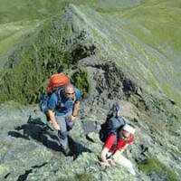
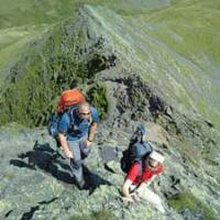
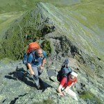
During the summer months we take on one of the major edges of the Lake District, Sharp Edge on Blencathra. With it's high levels of exposure the adrenaline will be pumping. This is not a walk to be taken lightly it requires a guide or a good level of skill with many years experience to enjoy this ridge safely. Many inexperienced walkers have been fooled into thinking they can make the edge walk and the local mountain rescue reports can tell you the outcome, we ourselves have had to guide strangers down to safety! The views from the ridge are breathtaking this is definitely a walk you will be talking about for some time. Sharp Edge is a classic edge, shorter but a little harder than Striding Edge. Why not join one of our guided walks and let our experienced instructors guide you up this classic route in safety. |
| Summits included on this route: | |
| Blencathra |
869 metres/2848 feet
|
| Mungrisdale Common (Optional) |
633 metres/2077 feet
|
|
Threlkeld mine lies at the base of Halls Fell where from 1879 to 1928 it was a profitable venture for the raising of lead and zinc ores and is believed to hold further reserves should the economic situation improve. A small trial working can be seen beside Blease Gill near the 2,000ft (610m) contour. This is believed to have been driven for lead. Saddleback Old Mine had workings near Scales Tarn and at Mousthwaite Comb. The mine was driven for lead but in the 1890s raised mostly limonite. This was marketed unsuccessfully as a pigment and the mine closed in 1894. In the Glenderaterra valley to the west of Blease Fell were Brundholme and Blencathra mines. Lead, copper and baryte were raised between the middle of the nineteenth century and the final closure in 1920. |
|
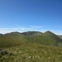
Similar to our Blencathra and Mungrisdale Common route we climb directly to the summit of Blencathra via the wonderful Halls Fell ridge, but after a stop on the summit we then descend to the east. We drop down to Scales Tarn before re-climbing along the famous Sharp Edge ridge, a short rocky arete with steep drops on either side. We make our way along this ridge to climb steeply at the far end over Foule Crag, this brings us back onto the summit ridge. Our planned descent route is via the Doddick Fell Ridge, this descends alongside Halls Fell on a fine ridge with great views over the surrounding fells where a good path at the base takes us back to Threlkeld. Obviously Sharp Edge is a very severe mountain route, and should not be attempted in bad weather, it is at our guides discretion whether we will undertake the ridge, and if not, a suitable alternative will be offered. Each participant will be required to bring suitable equipment for their chosen event, please see Kit List tab above. |
| Meet Point | The Horse & Farrier, Threlkeld |
|---|---|
| Postcode / GR | CA12 4SQ / NY 322 254 |
| Location Info | Threlkeld is just off the A66 main road between Keswick and Penrith, follow the signs into the village. We meet outside the Horse and Farrier Pub in the centre of the village, please do not park in the pub car parks, plenty of parking can be found a short distance in either direction from the pub. |
Use spaces to separate tags. Use single quotes (') for phrases.
Questions:
There are no product questions yet.
Customers who booked this event also purchased the following
- This Item: Blencathra & Sharp Edge: Private Guiding
-
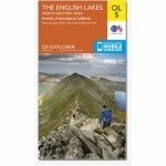
Lake District North Eastern Area: OL 5
£7.99
-
Lake District North Eastern Area: OL 5 Active Map
£14.99
-
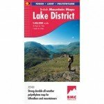
BMC: Lake District Mountain Map
£12.99
-
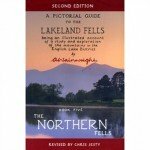
Alfred Wainwright: Northern Fells, Book 5
£12.99
-
Total Price £168.96
Total Price Excl. Tax: £168.96 Incl. Tax: £168.96
Join us on Facebook and hear about our news and see photos.
- YouTube
Phone: (Local Rate)
Email:
Our events are run on location throughout Great Britain, please check your booking information for specific event information including where to meet and directions to start points
 © 2015 The Lake District Walker Limited. All Rights Reserved.


