Sour Howes

|
| "There is a very extensive and beautiful prospect southwards from the far Pennines round to Morecambe Bay and Black Combe." |
|
A.Wainwright
|
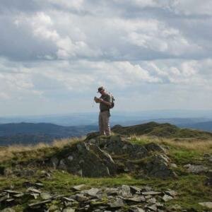
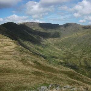
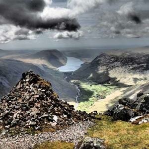
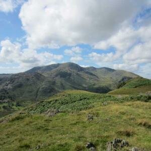
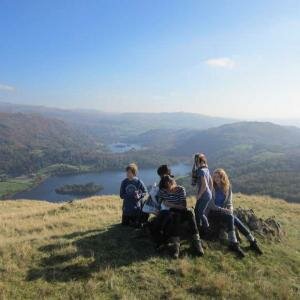
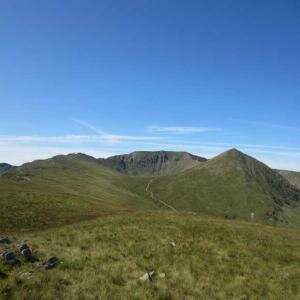
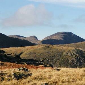
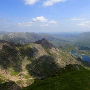
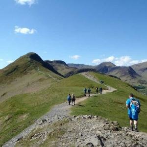
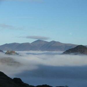
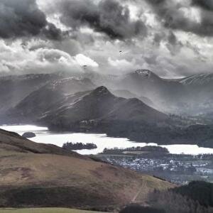
The grassy summit of Sour Howes is the final summit on the long ridge that descends south from High Street and Thornthwaite Crag, after crossing the Garburn Pass it rises one last time to the two close summits of Sallows and Sour Howes, although separate from the summits to the north of the Garburn Pass these small grassy tops offer a beautiful short walk, with sunning views throughout, especially the view south over Windermere.
Sour Howes can be climbed from Troutbeck in the west and Kentmere to the west, other interesting routes include the slightly longer ascents from either Staverley or Windermere to the south.
-
Sallows & Sour Howes: Private Guiding
 £100.00 From £16.00 per person
- Add to Wishlist
- | Add to Compare
-
Sallows & Sour Howes: Monday 14th September 2015
 £22.00
Fully Booked
- Add to Wishlist
- | Add to Compare
-
Sallows & Sour Howes: Wednesday 18th November 2015
 £22.00
- Add to Wishlist
- | Add to Compare


