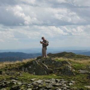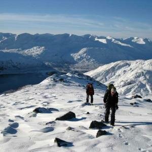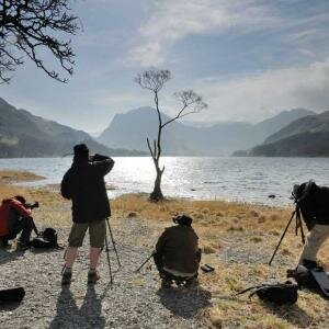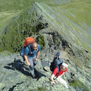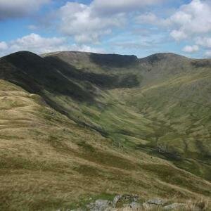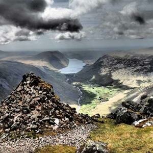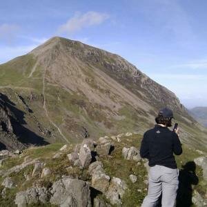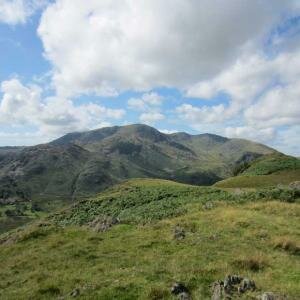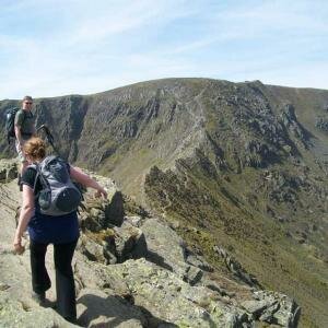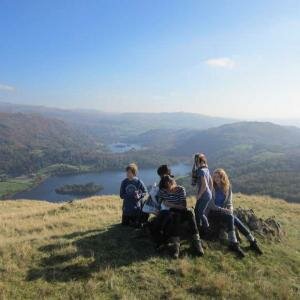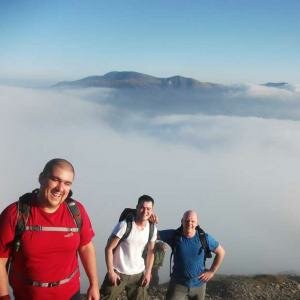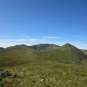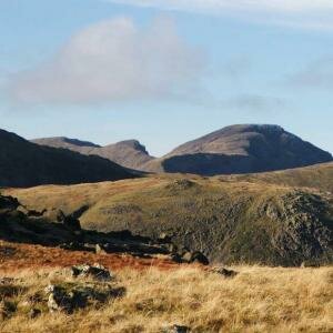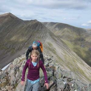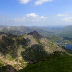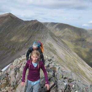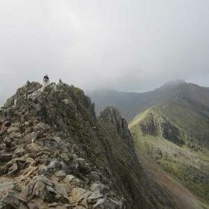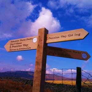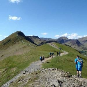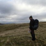
A good day in slightly damp conditions today as we spent a day on the Silver How ridge running a navigation training course.
We set off from Elterwater at 10am and headed up the lane towards Red Bank, turning off the road to follow the path towards Huntingstile Crag, climbing above High Close.
There are plenty of options up on the ridge here for a navigation training course so we spent our time working our way along the ridge by Dow Bank and below Spedding Crag before climbing by Megs Gill.
From the top of Megs Gill we sent some time on our compass bearings, taking in the summit of Silver How before following the ridge west by Lang How.
During the morning the rain had got a bit heavier and by now the wind was pretty strong, we found some shelter behind an outcrop to stop for our sandwiches before practicing some more bearings.
We spent a little time looking at some very small contours around Swinescar Pike before following the path back to the west of the tarns, picking out an unusual ring contour and some more features to the west of Megs Gill.
From Megs Gill we followed the ridge back east, by Spedding Crag before descending below Dow Bank and descending back to the roadside above Walthwaite Bottom and following the road back into Elterwater.
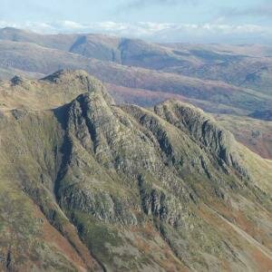
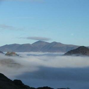
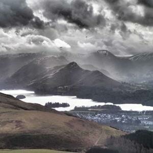
As we descended below Dow Bank the clouds began to break giving us some great views over the Langdale Valley, towards the Langdale Pikes and up to the summit of Bowfell.


