


Liz
Read more
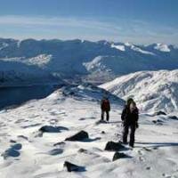
NNAS Silver 2 Day Navigation Course

£190.00 As low as: £90.00

|
|

|
Please select a date from the diary above to view available events
|
|
|
|
Please select a date from the diary above to view available events

Regular Price: £44.00
Special Price £40.00
Regular Price: £44.00
Special Price £40.00
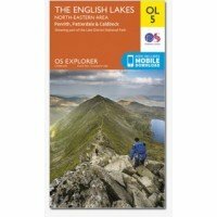
Map sheet number OL5 in the OS Explorer map series, The English Lakes: North-eastern area, is perfect for hikers and mountain bikers wishing to explore the delights of the north-east region of the Lake District. The area is ideal for hillwalking, visits to specialist, family run shops and water sports such as sailing and windsurfing. The OS Explorer map for The Lake District: North-eastern area is available in both the standard paper version and weatherproof 'Active' version.
Learn More
 © 2015 The Lake District Walker Limited. All Rights Reserved.