


Clare
Read more
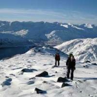
NNAS Silver 2 Day Navigation Course

£190.00 As low as: £90.00

|
|

|
Please select a date from the diary above to view available events
|
|
|
|
Please select a date from the diary above to view available events
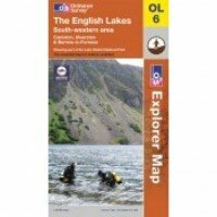
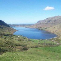
Map sheet number OL6 in the OS Explorer map series, The English Lakes: South-western area. is the ideal map for discovering all that the south west area of the Lake District has to offer. Highlights include: Scafell Pike, Coniston, Wast Water and Tarn Hows. The OS Explorer map for The Lake District: South-western area is available in both the standard paper version and weatherproof 'Active' version.
Learn More
Regular Price: £66.00
Special Price £60.00
Regular Price: £7.99
Special Price £4.99
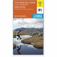
Map sheet number OL6 in the OS Explorer map series, The English Lakes: South-western area. is the ideal map for discovering all that the south west area of the Lake District has to offer. Highlights include: Scafell Pike, Coniston, Wast Water and Tarn Hows. The OS Explorer map for The Lake District: South-western area is available in both the standard paper version and weatherproof 'Active' version.
Learn MoreRegular Price: £14.99
Special Price £8.99
Map sheet number OL6 in the OS Explorer map series, The English Lakes: South-western area. is the ideal map for discovering all that the south west area of the Lake District has to offer. Highlights include: Scafell Pike, Coniston, Wast Water and Tarn Hows. The OS Explorer map for The Lake District: South-western area is available in both the standard paper version and weatherproof 'Active' version.
Learn More
 © 2015 The Lake District Walker Limited. All Rights Reserved.