


Anna
Read more
NNAS Silver 2 Day Navigation Course

£190.00 As low as: £90.00

|
|

|
Please select a date from the diary above to view available events
|
|
|
|
Please select a date from the diary above to view available events


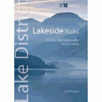
Regular Price: £4.99
Special Price £2.99
Regular Price: £4.99
Special Price £2.99
Regular Price: £44.00
Special Price £40.00
Regular Price: £66.00
Special Price £60.00
Regular Price: £7.99
Special Price £4.99
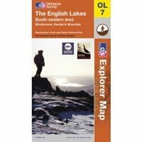
Map sheet number OL7 in the OS Explorer map series, The English Lakes: South-eastern area, is the ideal map to use when exploring the south-east area of the Lake District. With the impressive lakeside scenery around Windermere and the dramatic mountains that make up the region, this area is perfect for hiking holidays and days out. The OS Explorer map for The Lake District: South-eastern area is available in both the standard paper version and weatherproof 'Active' version.
Learn More © 2015 The Lake District Walker Limited. All Rights Reserved.