Call The Lake District Walker on

Search Site
    • The product Fairfield from Grasmere: Private Guiding has been added to comparison list.

High Street Roman Road: Private Guiding

Be the first to review this event

This guided walk follows the original route of the High Street Roman Road from Penrith to Ambleside, a long challenging walk. One of the best one day challenge walks in the Lake District.
  • Book 2 places for £125.00 per person and save 50%
  • Book 3 places for £100.00 per person and save 60%
  • Book 4 places for £75.00 per person and save 70%
  • Book 5 places for £60.00 per person and save 76%
  • Book 6 places for £50.00 per person and save 80%
  • Book 7 places for £43.00 per person and save 83%
  • Book 8 places for £37.50 per person and save 85%
  • Book 21 places for £32.00 per person and save 88%
  • Book 50 places for £25.00 per person and save 90%

Availability: In stock

£250.00
Select Date

* Required Fields

£250.00
Difficulty: Hard
  A long walk walk, but over easy ground
Distance: 36.5km / 23 miles approx.
Ascent: 900m / 3000ft approx.
Time: 12 hours
Start Time: Please select above
Maximum Group Size: 10
Minimum Group Size: 1


"Most of the high places in Lakeland have no places in history books... Not so High Street which as been known and trodden, down through the ages."
A. Wainwright

This is a rare chance to walk along the length of the High Street Roman Road, from Fort to Fort.

This will challenge your endurance, it's great practice to test how your preparing for a challenge such as The 3 Peaks Challenge a charity fundraising event or a personal goal.

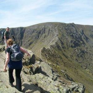
Why not let our experienced instructors guide you on this wonderful ridge walk, full of history (not just Roman) for a wonderful, albeit long day on the fells.


Summits included on this route:
   
Loadpot Hill
671 metres/2201 feet
Wether Hill
670 metres/2198 feet
High Raise
802 metres/2631 feet
Rampsgill Head
792 metres/2598 feet
High Street
828 metres/2717 feet
Thornthwaite Crag
784 metres/2572 feet


High Street is the most elevated Roman road in the country, and reaches approximately 2600ft (approximately 792m) above sea level at its highest point.

High Street was not identified as a Roman road until the early 19th century, although it is named in 14th century documents as ‘Bretstrett’ or ‘street of the Britons’, and so was evidently considered to be of some antiquity even at this date. It is recorded on several maps during the 19th century, but there has always been considerable debate over its purpose and ultimate destination at its southern end. Sections were excavated through it to the north during the mid and late 19th century, although the accounts are not detailed, and give somewhat contradictory descriptions. It was still used by peat cutters as a packhorse track until the middle of the 19th century, and as a result of this, and its popularity as a place for walkers, it has been heavily eroded.


An early morning pick up in Ambleside for all participants who will be transported to Brougham Castle, the start of the days walk.

A very long route covering an entire days march for a Roman Centurion, we start the route at Brougham Castle, next to the remains of a Roman Fort and follow the length of the High Street Roman Road as closely as possible to the Roman Fort at Ambleside.

During the route we will be in touch with the minibus and will be able to drop off anyone who is unable to complete the walk.

From Brougham Castle we will follow the lane through Eamont Bridge, Yanwath and Tirral before leaving the country lanes at Celleron. Here we will climb gently on the remains of the Roman Road to 'The Cockpit' the most impressive of the ancient stone circles we will pass on the walk.

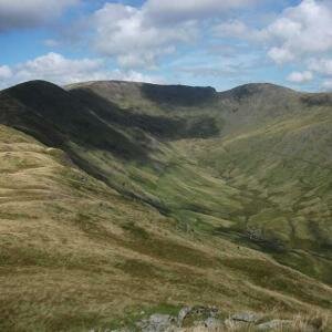
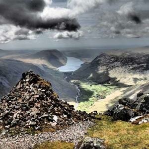
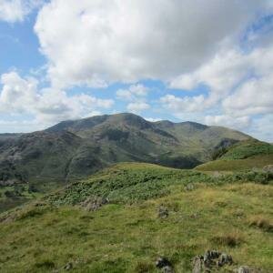
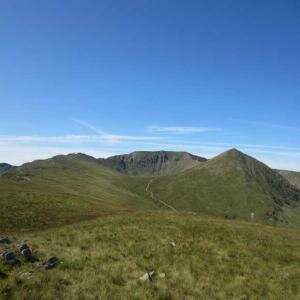
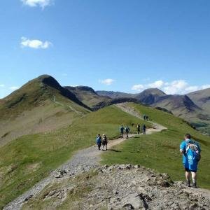
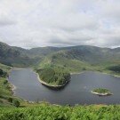
From here the road will continue to climb onto the main High Street ridge taking us past the summits of Loadpot Hill, Wether Hill, Red Crag, High Raise and Rampsgill Head before crossing the Straits Of Riggindale, where to our left lives the last wild Golden Eagle in England.

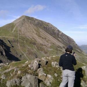
A short climb brings us onto our highest point of the walk, towards the summit of High Street, a short detour from the Roman Road can be made here to take in the summit, before the path leads us down to Troutbeck Park and into the village of Troutbeck.

From the other side of the village we rejoin a track leading around the flanks of the hill before descending via Jenkin Crag to Waterhead and the short walk along the lake shore to the Galava Roman Fort at Ambleside.

Each participant will be required to bring suitable equipment for their chosen event, please see Kit List tab above.

Back to top