High Raise (Martindale)

|
| "This is a most enjoyable excursion with a succession of widely differing views, all excellent." |
|
A.Wainwright
|
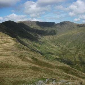
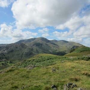
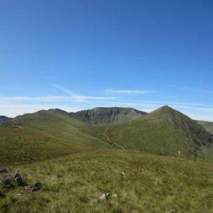
The main ridge north of High Street after crossing the dip at the Straights of Riggindale crosses first the summit of Rampsgill Head before climbing to High Raise, the second highest summit of the Far Eastern Fells. From here north the ridge descends over Wether Hill and Loadpot Hill in the form of gentle grassy slopes, west the land drops steeply into the Rampsgill Valley, but to the east the land descends gently towards Haweswater with only the Whelter Crags showing a rocky face to the grassland.
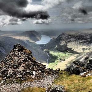
Along the summit ridge of High Raise lies the High Street Roman Road, the route between the Roman forts at Brougham near Penrith and Galava in Ambleside, this is not all that High Raise has to offer the historian though, the secluded eastern slopes also offer the flooded village of Mardale and an ancient hill fort.
-
The Martindale Skyline: Private Guiding
 £120.00 From £16.00 per person
- Add to Wishlist
- | Add to Compare
-
High Street Roman Road: Private Guiding
 £250.00 From £25.00 per person
- Add to Wishlist
- | Add to Compare


