


Whiteside

|
| "As travellers make their way up the Vale of Lorton, eager for sight of the thrilling Buttermere skyline just around the corner, their enthusiasm is kept in check by the successive buttresses of Whiteside." |
|
A Wainwright
|
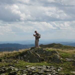
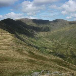
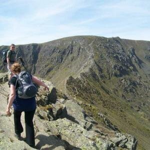
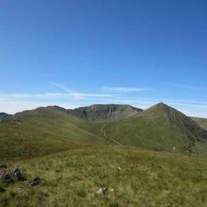
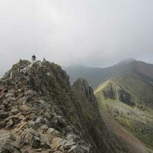
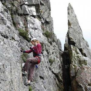
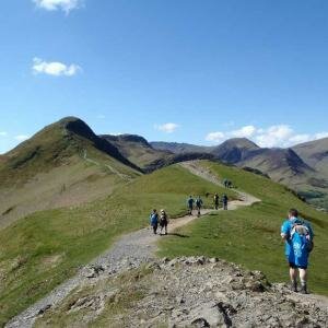
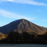
The wonderful ridge of Whiteside, steep sided and rocky, were it in the busier areas of the central Lake District would be one of the more popular walking ridges, but tucked away on the edge of Lakeland Whiteside does not get the respect it probably deserves. In many ways this is a good thing, the fine path along the ridge is not eroded like many of the more popular paths of the Lake District.
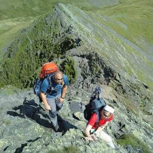
The fine ridge, continuing west from Hopegill Head is flanked to the south by the Gasgale Crags, dropping steeply towards Gasgale Gill, to the north steep heather covered slopes descend to Hope Gill and Hopebeck in the Vale of Lorton.
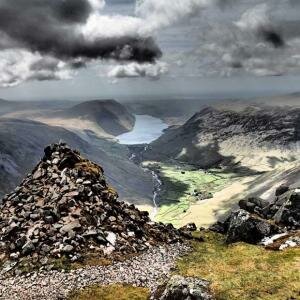
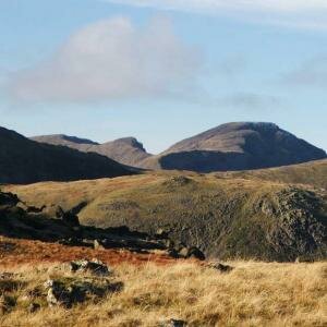
The good path descending west from the ridge drops steeply to the summit of Whin Ben before reaching the gentle slopes of Lanthwaite, above Crummock Water.
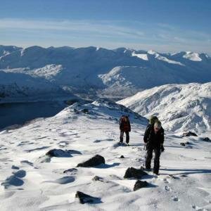
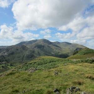
A good linear walk can be made traversing the ridge from Lanthwaite Green and following the ridge east, crossing Whiteside, Hopegill Head to Grisedale Pike and descending the Kinn ridge to Braithwaite.
2 Event(s)
List Grid
-
Grasmoor End to Whiteside: Private Guiding
 £120.00 From £16.00 per person
- Add to Wishlist
- | Add to Compare
-
Lanthwaite to Braithwaite: Private Guiding
 £120.00 From £16.00 per person
- Add to Wishlist
- | Add to Compare
2 Event(s)
List Grid
