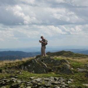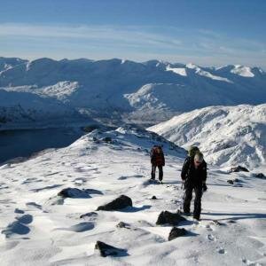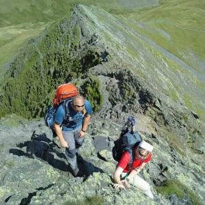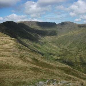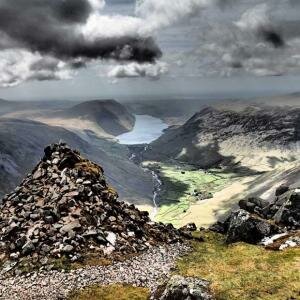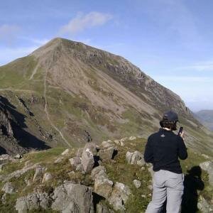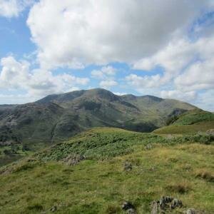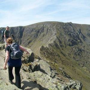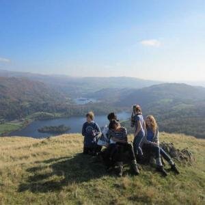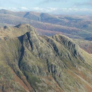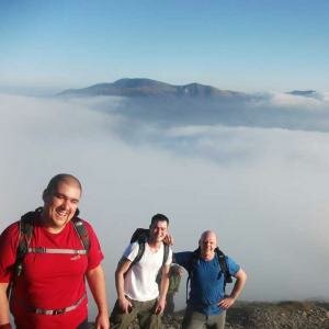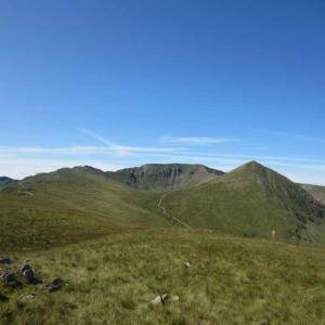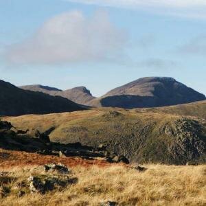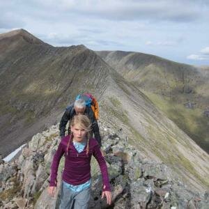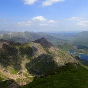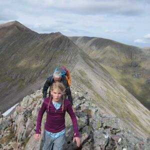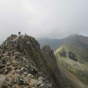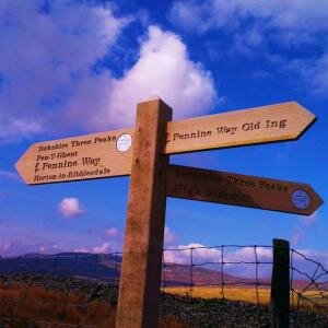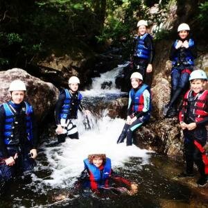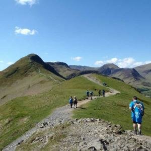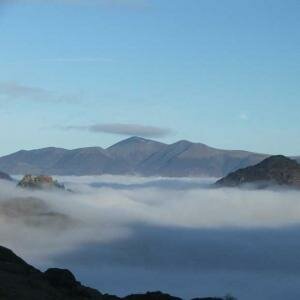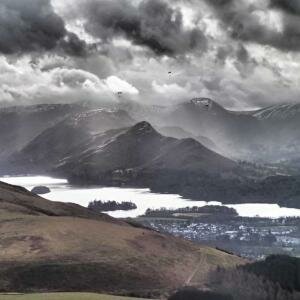
A great day today with a beginners navigation course on the Silver How Ridge, a little light rain and cloud at lunchtime before clearing up nicely during the afternoon.
We set off from Elterwater at 10am and headed up the slopes to the north of the village for today's navigation course, starting up the lane above Walthwaite Bottom before climbing up of the road on the path below Huntingstile Crag.
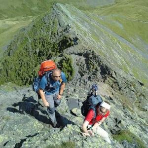
It was a little cloudy this morning but the views were good, only the high tops were in cloud. We picked out a few forks in the streams and the pool above Huntingstile Crag before tackling pacings on the ridge towards Dow Bank and then skirting around to the north of Dow Bank to reach the ridge again west of Spedding Crag.
There were plenty of interesting features as we climbed by Meg's Gill to the watershed before starting on some bearings, our first bearing to the summit of Silver How took us to a good lunch stop, not much of a view now that the cloud had descended a little.
As we ate lunch a little rain started to fall so we got our waterproofs on for a while, it didn't last too long though and half an hour later we were taking them off again.
After lunch we practised a few more bearings, heading west from the summit to pick out a few of the tarns before taking in a few features in the contours around Swinescar Pike.
From Swinescar Pike we headed back towards Meg's Gill, picking out yet more features in the contours along the way and looking at timings of legs as well.
From Meg's Gill we continued back to the ridge following the ridge over Spedding Crag and dropping to the hause between Spedding Crag and Dow Bank, taking the path down to the south of the ridge and dropping back down towards the road above Wallthwaite Bottom and following the lane back into Elterwater.


