Covers a large area yet is handily compact. Pocket perfect!
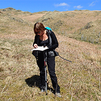
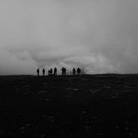
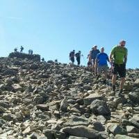
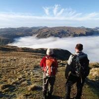
Detailed map for runners and walkers of the eastern fells of the Lake District National Park at the magic scale of 1:40,000
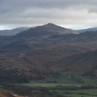
Scafell and the Langdale Pikes, and fells west of the Kendal-Keswick road.
- Includes 74 Wainwrights
- Has the advantages of its bigger brothers
- Fully detailed genuine HARVEY mapping
- Includes Rights of Way
- Use without a map case: tough and 100% waterproof
- Opens directly to either side of the sheet
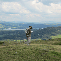
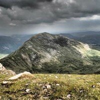
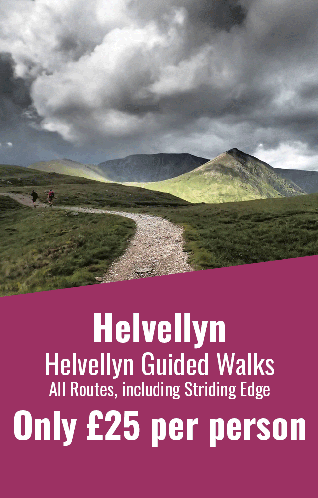
Detailed map for runners and walkers of the eastern fells of the Lake District National Park at the magic scale of 1:40,000. Features Helvellyn, High Street and fells east of the Kendal-Keswick road. The Kirkstone Pass, Ullswater, Haweswater and Kentmere are on this sheet. Includes 82 Wainwrights.


 © 2024 The Lake District Walker Limited. All Rights Reserved.